

Aerial data products taken and interpreted by Dr. Reda Amer, assistant professor and director of Lamar Geospatial Center and director of GIS programs in LU’s Department of Earth & Space Sciences and principal investigator for this project.
LU aerial drone surveys Hurricane Laura’s damage to coastal protection
Sharon Brooks
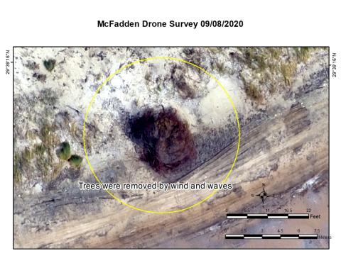
During the second week of September, Lamar University’s Department of Earth and Space Sciences utilized an aerial drone to take photos and video imagery of Jefferson County’s coastline’s status in the aftermath of Hurricane Laura.
Monday, September 14, 2020